Stories
Celebrating student geographers: 2022 Fieldwork Program awardees
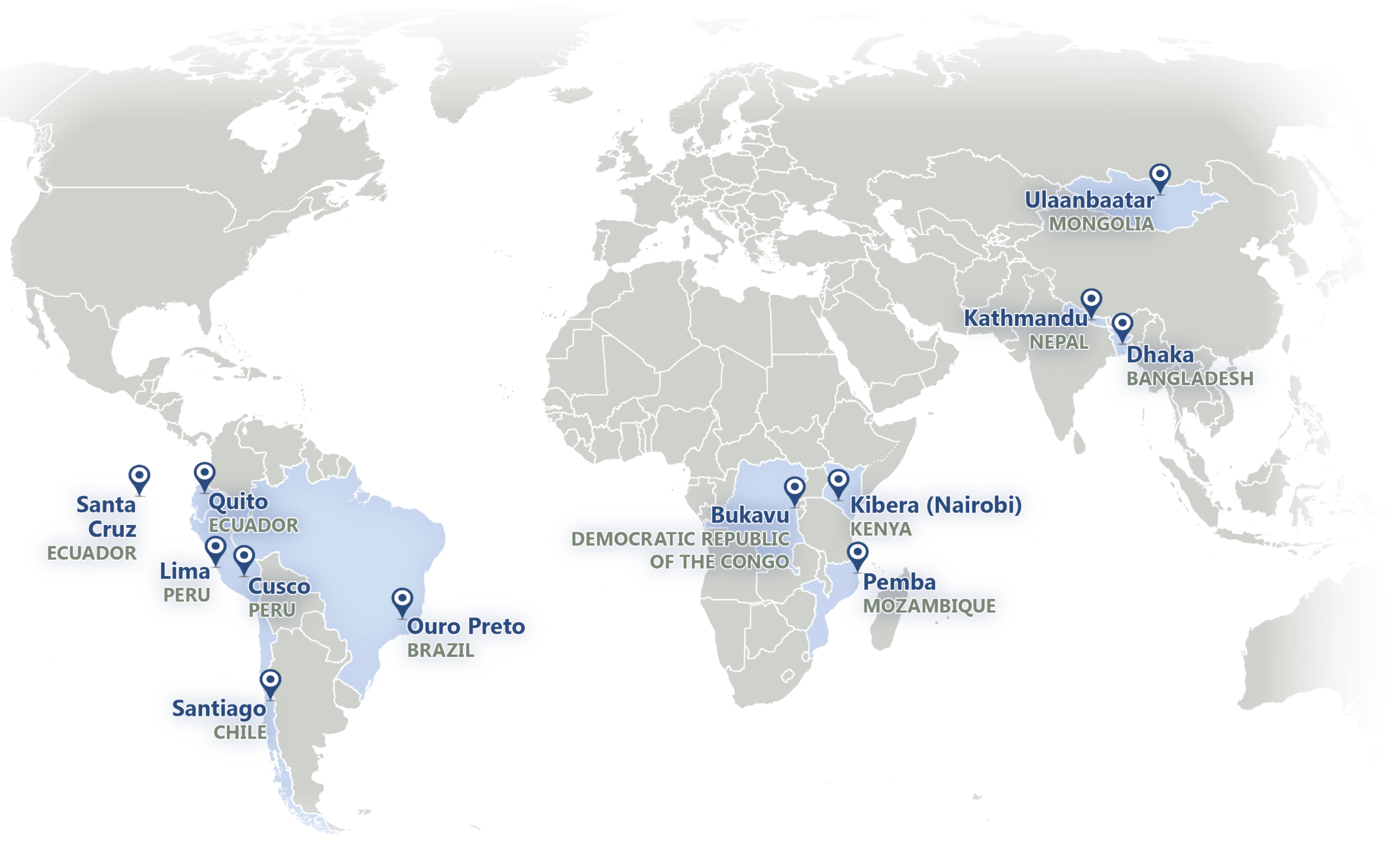
Location: Worldwide
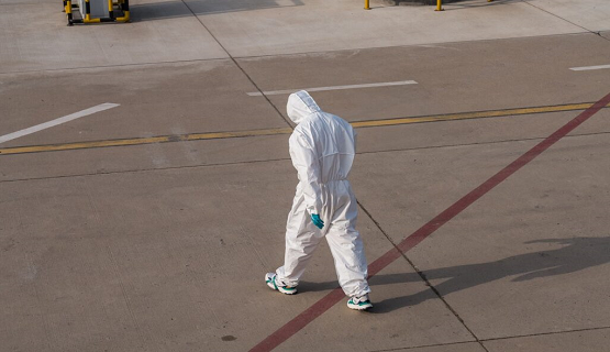
Improving Access to Health Services Amid COVID-19 Pandemic In Mongolia
Location: Mongolia
Guest Post from Cities COVID Mitigation Mapping Partner, Public Lab Mongolia
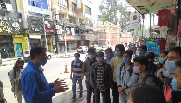
Contributing to the pandemic-stricken tourism of Nepal
Location: Nepal
Guest Post from Cities COVID Mitigation Mapping Partner, Kathmandu Living Labs
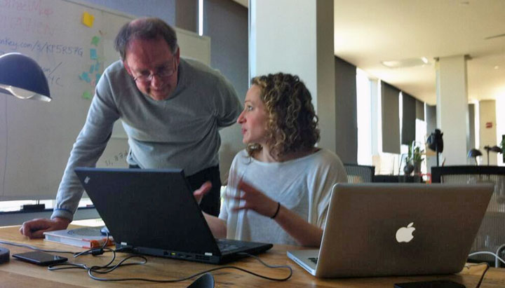
Using Geospatial Data to Tackle COVID-19's Second-Order Impacts
Location: Worldwide
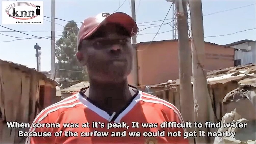
Analyzing 2nd order impact of COVID-19 in settlements in Nairobi
Location: Kenya
Guest Post from Cities COVID Mitigation Mapping Partner, GroundTruth Initiative
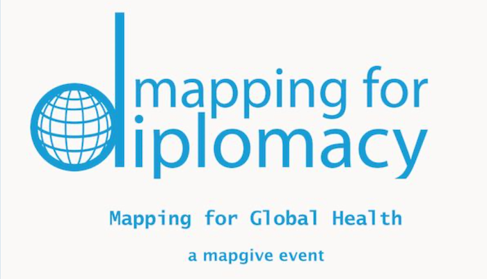
Mapping for Diplomacy: A Virtual 'Mapping for Global Health' Mapathon
Location: Worldwide
Filling the Gaps: MapGive Imagery Services Enhance Humanitarian Mapping
Location: Bangladesh, Uganda, and Worldwide
Measuring Impact with the MapGive Dashboard
Location: Worldwide
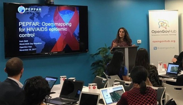
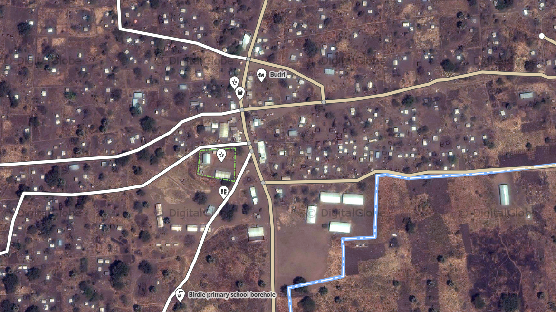
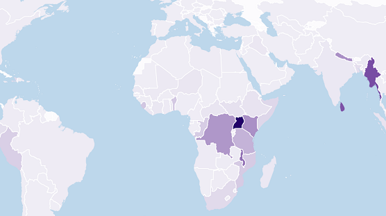
Engaging New Audiences to Support PEPFAR’s Open Mapping Efforts
Location: Africa

Mapping Ashgabat: Before an Earthquake, and in Time for the Games
Location: Turkmenistan
2nd Mapathon @ AAG
Location: United States
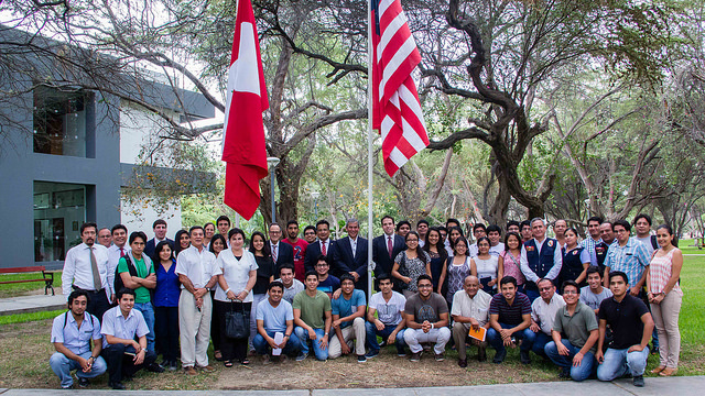
Piura MapGive Workshop
Location: Peru
MapOff
Location: United States
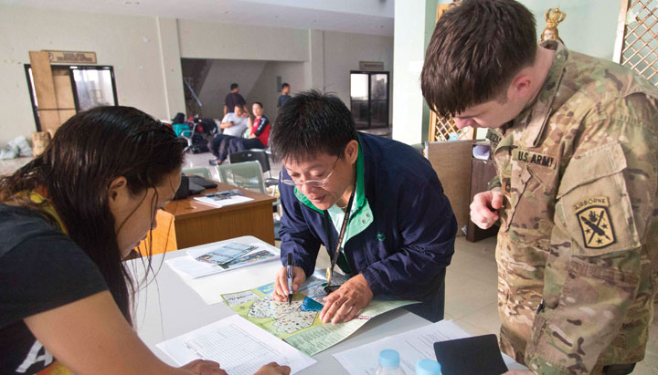
Responding to Disasters, Saving Lives
Location: Philippines
Reducing Risks Before a Crisis
Location: Nepal
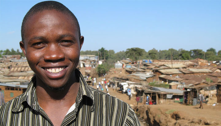
Empowering People, Developing Communities
Location: Kenya