What is MapGive in a Box?
This guide contains the collective wisdom of the MapGive team, and partners who have organized MapGive events and projects. The goal is to provide clear guidelines for engagement and project design with the MapGive program, for someone with no background in mapping. The MapGive team is ready to help, and MapGive in a Box will help you prepare to work with the team. How much good can we do together?
MapGive is a Department of State public diplomacy program designed to engage volunteers to map in OpenStreetMap, for humanitarian and development missions. The goal of this guide is to provide clear guidelines for engagement and project design with the MapGive program, for someone with no background in mapping. Particularly, this guide is for staff at Post looking to implement MapGive projects, and their bureau colleagues advising on innovative diplomatic engagements.
MapGive has been utilized in a wide variety of places and settings, and range from simple, lightly resourced events to in-depth activities with substantial design and implementation support. Take a look through these Case Studies to learn more how colleagues have implemented MapGive programs.
All the resources you need to be successful from start to finish. The timeline to organize a MapGive event can vary from something thrown together in just a few days for an urgent need, to a large scale, high profile event taking several months of preparation. This section includes an event guide, event checklist, printable materials, and more.
About MapGive in a Box
MapGive is a Department of State public diplomacy program designed to engage volunteers to map in OpenStreetMap, for humanitarian and development missions. This guide, MapGive in a Box, contains the collective wisdom of the MapGive team, and partners who have organized MapGive events and projects. The goal is to provide clear guidelines for engagement and project design with the MapGive program, for someone with no background in mapping.
Particularly, this guide is for staff at Post looking to implement MapGive projects, and their bureau colleagues advising on innovative diplomatic engagements. The Resources section details all concepts, considerations and logistics. This guide, especially the Case Studies, can also facilitate supportive connections for MapGive projects between Posts.
Colleagues at other agencies, in other governments, and other organizations also have similar needs to succinctly explain how to organize projects with OpenStreetMap; the guide may be directly useful, and is open for reuse and adapation. All of the content is available openly, and utilizes existing resources and links as much as possible.
The MapGive team is ready to help, and MapGive in a Box will help you prepare to work with the team. How much good can we do together?
Intro to Open Mapping
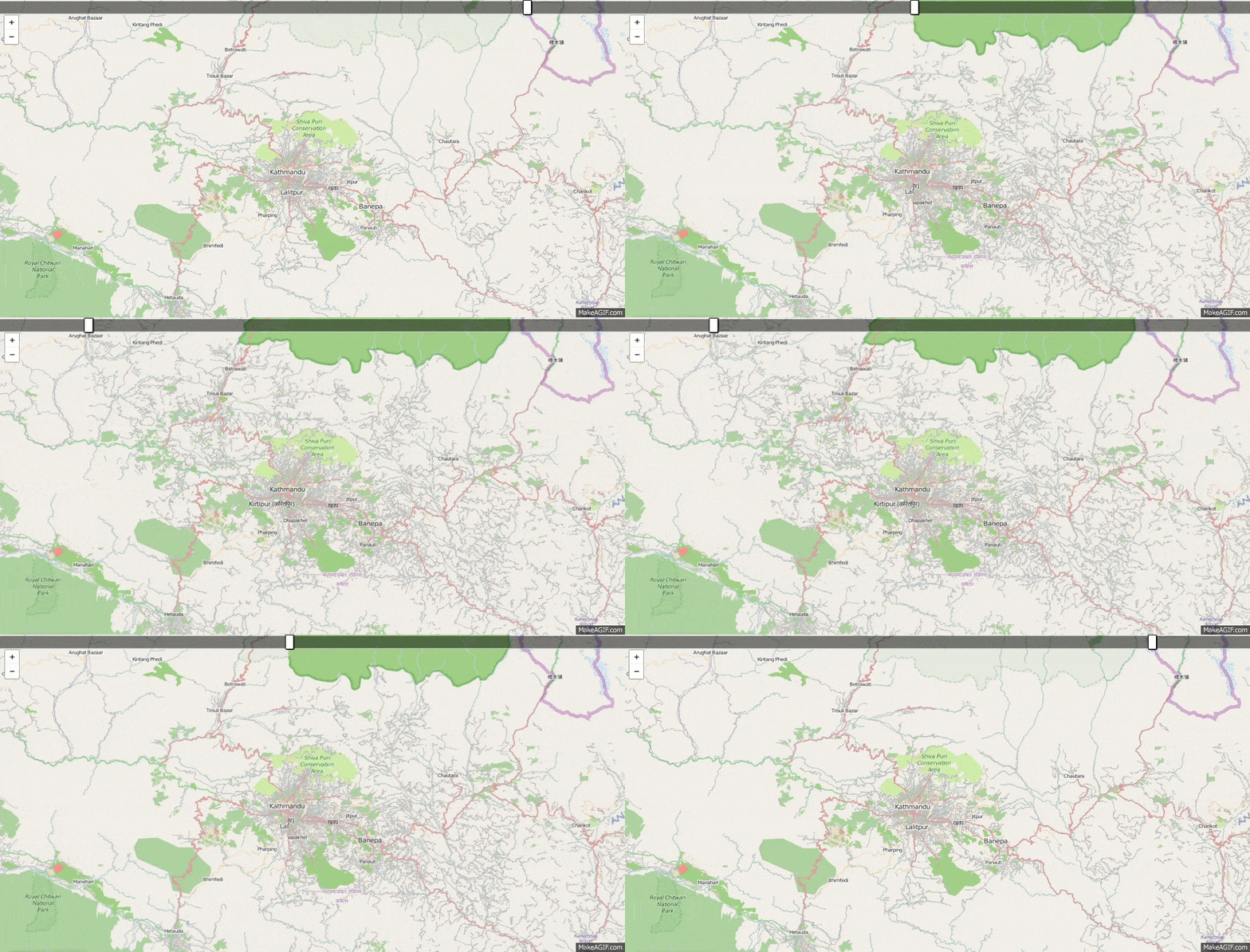
OpenStreetMap is a volunteer driven map of the entire world. Anyone can contribute, and anyone can use the data. The focus is on infrastructure, like roads and buildings, services, and land use. The maps can be updated very fast, by large numbers of volunteers from around the world, making them extremely suited for humanitarian and development applications.
Learn more About Open Mapping and Why Mapping Helps on the main MapGive site.
MapGive Capabilities
The MapGive program provides a number of capabilities to assist Posts in public diplomacy through Open Mapping, and support the OpenStreetMap community.
- Fill gaps in satellite imagery through Imagery to the Crowd.
- Share knowledge in event organization.
- With deep links in the OpenStreetMap and humanitarian response communities, connect with the global network.
- Utilize technical and analysis services, like events statistics and visualizations.
Learn more in Process from Start to Finish.
Types of MapGive Engagements
There are two main kinds of MapGive engagements.
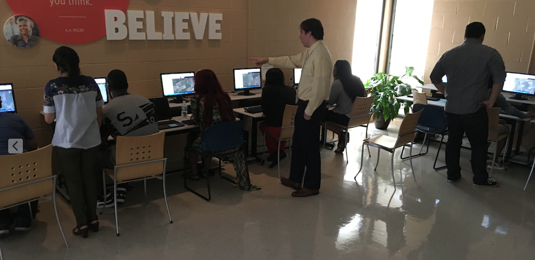
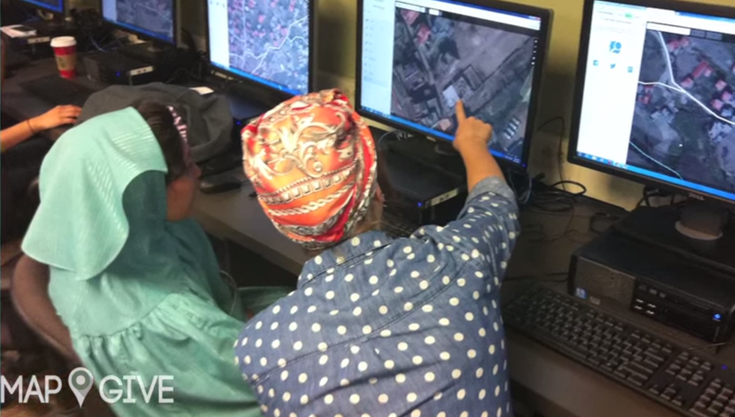
Mapathons are hours long events, where volunteers create map data from computers, typically by “digitizing” satellite imagery. These events are social and fun, and focused on doing good together. Often the maps are created for a humanitarian need in a remote site from the event, in another part of the globe. Mapathons can focus on map needs locally too.
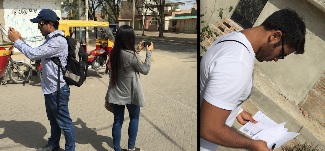
Field Projects are typically more intensive activities, where the focus is on surveying and data collection in the field. There are limits to how much can be mapped from sitting and looking at satellite imagery. Tools employed range from GPS units to mobile phone apps to paper. Field projects will take much more investment in logistics and training, but the result will be data of much greater depth, accuracy and local knowledge.
Get Started
From here, it can be very helpful to read about how MapGive has been implemented in Case Studies.
Contact Info & Credits
Contact
You can reach MapGive by email at mapgive@state.gov, and on twitter at @mapgive.
Contribute
If you’d like to tell us about your MapGive engagement, to help us prepare a case study example, submit your case study here.
If you have feedback on this guide, share with us on GitHub. And we welcome your pull requests with suggested improvements to the site as a whole.
Credits
Thanks to the MapGive Advisory Team in the “R Family” that helped shape MapGive in a Box into a useful resource. Graham Lampa, Janine Byas, Attiatul Nasar, Martha Adams, Electra Colevas, Jennryn Wetzler, Adnan Shahzad, Jerome Sherman.
Thanks to the Humanitarian Information Unit that lives and breathes MapGive. Thomas Gertin, Erika Nunez, Andrew McKenna, Debbie Fugate, and Lee Schwartz. Special thanks to MapGive Emeriti, Joshua Campbell, Kevin Dobbs, Erin Sawyer, Mikel Maron, Patrick Dufour, and Benson Wilder.
Thanks to the Presidential Innovation Fellows program that brought on Mikel Maron to work on this guide.
Lahore Mapathon
What happened?
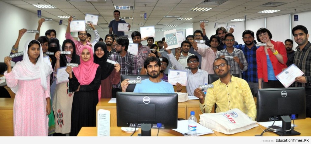
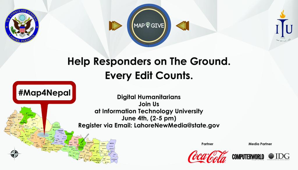
Forty-one students volunteered their time today for a mapathon organized by the U.S. Consulate General in Lahore in collaboration with the Information Technology University Lahore. The students used open mapping technology to create maps of roads, bridges, and buildings that assisted international response efforts in Nepal in the wake of recent earthquakes.
What were the outcomes?
In just three hours, these citizen cartographers edited more than 4,000 roads and buildings via OpenStreetMap. The event gave Pakistani students an opportunity to interact with open mapping experts in Washington, D.C. and learn about the important relationship between maps and humanitarian aid.
Post interacted with local youth. Public Affairs Officers had a time to explain to the young students how the United States is helping humanitarian efforts in the region and how students can participate right from their desks. The event helped drive the post’s social media outreach activities resulted in an increase of youth engagement.
The Mapathon was covered in local media, on blog posts and social media. The consulate and the university released press releases.
More images of the event can be found here.
Who were the participants?
- 41 university students
- 1 international humanitarian worker (from UKAid)
- 2 Social Media celebrities (to give a social media boost)
- 2 experienced mappers
- 1 Alum from Rutgers University
- 2 University Professors
What did it take to organize?
The Consulate works with MapGive team, who help facilitate planning and organizing the event. And the MapGive team participated in a discussion with young students over a video link.
Ramallah Mapathon
What happened?
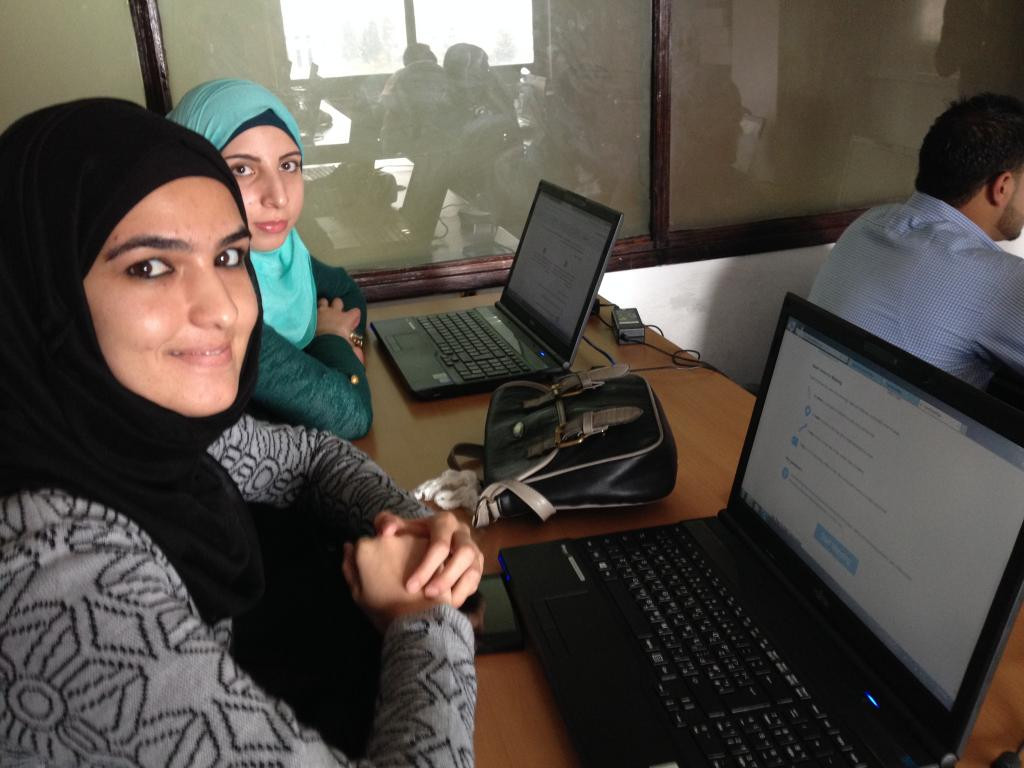
The American Consulate General in Jerusalem hosted a mapathon for forty Palestinian students to compete with college students across the world using open mapping. The students compiled data on roads, bridges and buildings relevant to international aid groups combating the Ebola crisis. The students were challenged to finish the most comprehensive maps of West African regions in the six-hour time frame, as compared to their counterparts across the world. Additionally, students virtually exchanged ideas and information during the mapathon, learning from one another as they collaborated with ground-breaking new technology.
What were the outcomes?
The project contributed to Mission Goals, to increase and improve understanding of U.S. foreign policy, society and values, while expanding and strengthening people to people relationships.
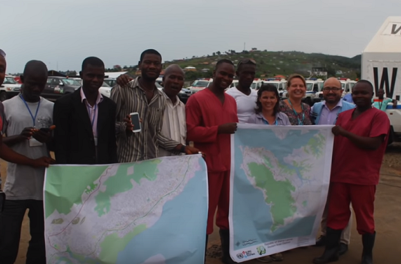
Maps created by this initiative aid the governments of Sierra Leone, Guinea, Liberia, other nations and organizations fighting the ebola crisis. The Palestinian students created maps of about 25 square kilometers of Sierra Leone and Liberia during the event, which received attention in the local media.
Who were the participants?
Forty Palestinian university students, who cooperated with students across the globe in the use of open mapping technology.
What did it take to organize?
Souktel, a regional mobile phone services organization sponsored the event in Ramallah. MapGive played a light, supportive role, providing basic resources via phone and email conversations.
YALI Connect Camps
What happened?
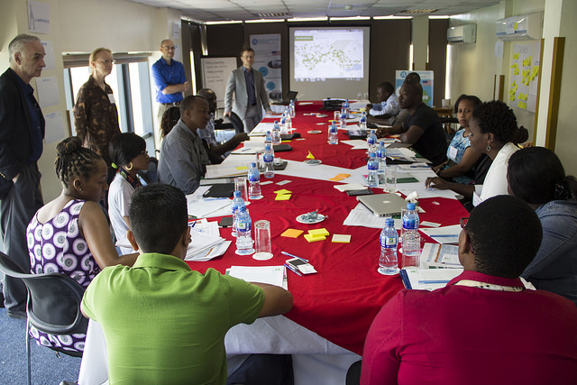
From March 9 through May 15, 2015, the Bureau of Educational and Cultural Affairs (ECA) hosted four Young African Leadership Initiative (YALI) Connect Camps in Tanzania and Namibia. Connect Camps are regional, week-long workshops for Mandela Washington Fellowship (MWF) alumni and their mentees to share experiences, learn about human-centered design, test entrepreneurial approaches, and work with low-bandwidth technology for collaboration. The workshops highlighted OpenStreetMap as a community-driven resource for participants’ existing projects or entrepreneurial ventures they proposed during the workshops. The Connect Camps are organized by Ohio University under a cooperative agreement from the ECA Collaboratory.
During the camps, experts in OpenStreetMap (OSM) from both the United States and Sub-Saharan Africa described case studies of OSM projects, led a trip to an OSM field project, and provided hands-on skills training to participants. The experts encouraged participants to use the open data software to augment systems for community development and access to services.
What were the outcomes?
Participants learned to use technology for community mapping as a way to deepen engagement with not only with their own communities, but with other countries as well. Providing OSM training supported a key tenant of YALI to create networks that will promote opportunities for young African Leaders; the training also supported Posts’ priority for MWF alumni’s continual engagement, following their return from the U.S. exchange.
Exemplifying the MWF engagement: a small team of MWF alumni and mentees pitched a social change project involving community-sourced mapping, during one Connect Camp. Following the camp, the group sought to partner with OSM experts at the Tanzanian incubator “Buni Hub,” and explore mapping for local community development and eco-tourism. Since the workshop ended, the team lead has continued communications with Buni Hub and participated in multiple mapping events the hub sponsored.
The event and OSM work was highlighted by ECA.
Who were the participants?
Over 60 participants, including Mandela Washington Fellowship alumni from nine countries in East and Southern Africa.
What did it take to organize?
MapGive provided a 1.5 hour tutorial to the ECA Collaboratory and the Ohio University facilitators. They also shared a curriculum for mapping, which they had adapted for the Connect Camp sessions.
During the training sessions, Ohio University provided a general overview of mapping and described the role OSM could play in the fellows’ projects. The MapGive experts either visited in person to lead 1.5—2 hour trainings or participated virtually, via Google Hangout.
Cusco Field Project
What happened?
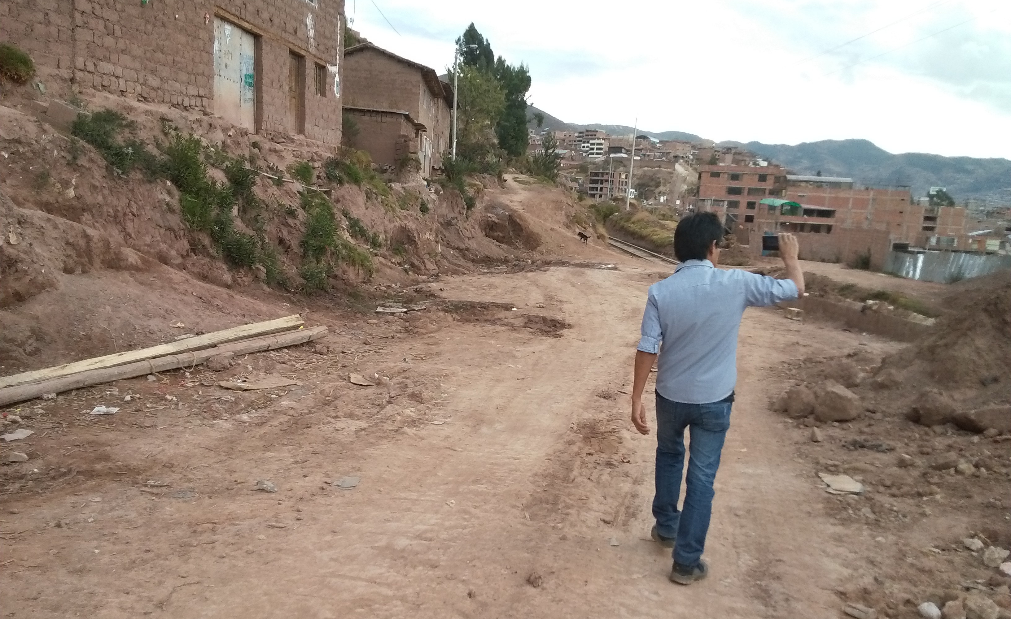
The MapGive OpenStreetMap Workshop was run on August 22-23 in Cusco, Peru, as part of collaboration between the Universidad Nacional de San Antonio Abad del Cusco and the Secondary Cities initiative, as well as MapBox Ayacucho. The participants were a mix of Peruvian university students and government professionals working in Cusco, a secondary city experiencing rapid urbanization.
As a collaboration between the State Department’s MapGive and Secondary Cities initiatives, the MapGive Field Mapping Project was designed to build geospatial mapping capacity in support of disaster preparedness and urban sustainability.
The project aimed to enable local partners to update and improve the map of Cusco, Peru, to enhance resilience, emergency preparedness, and human security. During the weekend, the field surveying focused on mapping infrastructure and their key attributes in areas of recent urban growth in Cusco.
The Cusco MapGive Workshop introduced field data collection techniques in OpenStreetMap (OSM), using OpenMapKit and FieldPapers; editing in OpenStreetMap; and use of OpenStreetMap data in GIS. OpenStreetMap is a mapping platform designed for data sharing and collaboration.
What were the outcomes?
The workshop exemplified the potential for utilizing geospatial science as a mechanism for diplomatic engagement, in line with the 2015 Quadrennial Diplomacy and Development Review.
At the end of the workshop, over 700 road and 2500 building features had been added to the OpenStreetMap database, generating data of previously unmapped urban growth that will assist in building resilience to natural disasters and sustainability managing urban growth.
Through the project, Peruvian university students and government professionals gained hands on experience with open source geospatial tools, simultaneously building long term parnterships and local capacity by harnessing advanced technology to address local priorities.
The maps generated serve as decision making tools not only for disaster resilience but also for climate change adaptation and urban sustainability. A Cusco mini-site was created to post materials used in the workshop.
Who were the participants?
The participants were a mix of Peruvian university students from the Universidad Nacional de San Antonio de Abad del Cusco and government professionals, whose studies and work priorirites related to the themes of resilience, emergency preparedness, and human security.
What did it take to organize?
As MapGive’s pilot field mapping project, the organization and workflow of the project are well represented by the Start to Finish section of MapGive in a Box.
Two members of the MapGive team coordinated with a local university professor to secure a lab space and develop itinerary and materials, three weeks in advance of the workshop. During the workshop, two members of the MapBox Ayacucho team both participated in and assisted with the workshop, by providing a local perspective and using their expertise to engage with the participants. Post helped with the logistics to arrange for catering and translations/translators.
Start to Finish
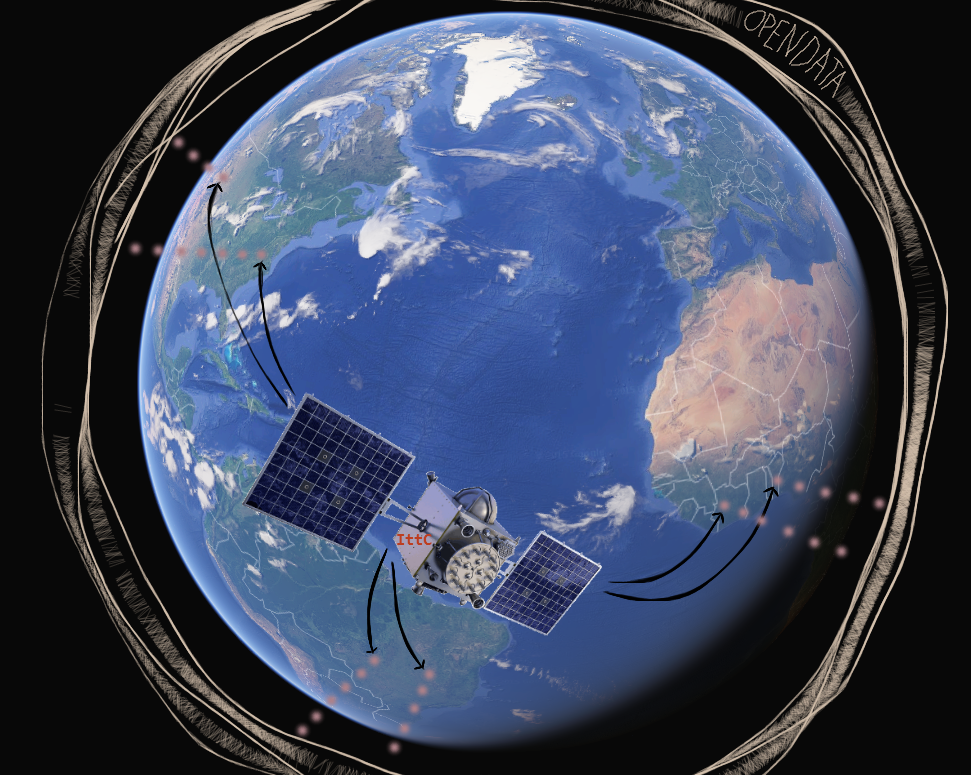
This section lays out the process of a MapGive engagement from start to finish. A MapGive engagment involves collaborating and outreach in OpenStreetMap, in an event like a Mapthon. The timeline to organize a MapGive engagement can vary from something thrown together in just a few days for an urgent need, to a large scale, high profile event taking several months of preparation.
Introducing MapGive
People learn about MapGive from media coverage, social media, conferences, and internal recommendations. If MapGive sounds like an intriguing tool for public diplomacy, learn and try it out, understand more about the process (i.e. this guide!) and get in touch.
The MapGive team is here to help support through the organization process. Start discussions over email and schedule time for a Skype or phone call if helpful.
We recommend setting up a channel for regular communication and organizing among your team early in the process. Frequently, tools like Trello are used to keep a clear picture of preparations and responsibilities.
Determine the Need
Mapping can be used for a wide variety of applications. There are always needs around the world in humanitarian response, and economic development. Needs can be identified that align with local priorities in the Embassy; with country and topical desks, and with local and international partners.
Form Partnerships
There are many potential partners to help identify needs, and collaborate on all aspects of a MapGive engagement. Form Partnerships has several recommendations.
Project Set-up: Imagery, Tasks, Stats
A MapGive engagement can have technical requirements, which the team may be able to help with.
Imagery, whether to fill a gap or provide an up to date view, is a common need. Read more about the Imagery to the Crowd initiative, including how to request imagery. There are also details on imagery coordination from the Humanitarian OpenStreetMap Team.
The Tasking Manager is often used to coordinate mapping projects. The MapGive team can help advise on selection of existing projects, and the creation of new projects.
Statistics and visualizations on activity in a mapping project are great motivations, and useful indicators.
Plan an Event
The event planning guide has details on all aspects of holding an event, from venue selection, recruiting participants, building an agenda, and budget considerations. Events can be quickly organized, small scale, and informal; to something involving months of planning. Scale according to your resources available and to the kind of engagement desired.
Field Project
Field Projects involve more substantial training than Mapathons, and collection of data in the field using GPS, mobile phones, and paper. The logistics are necessarily more complicated. However, the value of data collected in communities, by that community, is unsurpassed in depth and quality; and can help develop very substantial relationships.
This guide focuses on Mapathon events, but there are Resources which cover field projects in more detail, especially the OpenCities Guide. Written in spanish, the Piura mini-site’s materials section contains some good guides on field mapping tools. Get in touch with the MapGive team, and we can discuss more.
Communications / Publicity
Communication is crucial before, during, and after the event. Spread the word via whichever mediums are most appropriate; email, social media, news media, blog posts, etc. Form Partnerships can help you decide on your target audiences.
Events come and go, but stickers last forever. Or, at least… for a while. The MapGive team keeps “MapGive” and “I Mapped” stickers on hand for events and outreach, or you can print your own. These stickers can be proudly displayed and viewed from many mappers’ laptops and notebooks. Consider procuring some kind of reward, as fun freebees or prizes for participants, to keep the event engaging and continue gaining exposure afterwards.
Follow Up / Review
Critical, but often untended, are substantial follow ups. Events take a lot of energy to organize. Make sure to include follow ups in planning. This can include immediate thank yous to partners and participants. And further, establish points of contact and spaces for further communication and future collaborations.
And after your event happens, please submit your case study.
Determine the Need
The key draw for Posts and for participants to get involved in mapping, is to contribute towards making an impact on critical issues. The activity itself is enjoyable and educational. However the immediate creation of data to support humanitarian and development missions, is what makes these experiences unique.
This section gives you ideas when thinking through potential applications and adaptation to local context.
Identify Your Challenges
Mapping has wide applications: disaster preparedness and response, urban planning, monitoring conservation areas and deforestation, assessing cultural and archeological sites, education, logistics of medical supply, and many many more.
Examining strategic priorities at your Post, and long and short term issues facing your region, there are going to be many possibilities for mapping. Create space to brainstorm and facilitate ideas from across different functions in Post. Partners can be excellent sources for mapping ideas. From a set of potential ideas, the MapGive team can help to identify what kinds of projects are feasible with OpenStreetMap tools and communities.
As a public diplomacy and humanitarian tool, there are circumstances where mapping is not appropriate. For instance, conflict issues raise numerous sensitivities that might disqualify a MapGive engagement.
It’s certainly possible to organize to contribute to a need somewhere else in the world. The humanitarian community is always responding somewhere, and there will be a need for map data.
Adapting to Local Context
Especially when mapping in the field, considerations of the local context are critical. What locations and set of partners are ideal to support a more in depth project? Excellent trust relationships with the communities being engaged and mapped are necessary. Consider the level of government presence, the access to technology, and capacity and education levels to work with these tools. Work to take a facilitative posture, allowing participants to take the lead on what to map, and in fact, whether to map at all.
For deeper engagements that require a greater investment in time and resources than a single mapathon, look for partners for support. Particularly important is building a good trust relationship with local communities. It is crucially important to allow communities to take the lead and make decisions on what to map (or whether to map at all).
Developing a Project
Once a need and method are identified, look at exact kind of features to collect. Roads and buildings are the common base infrastructure mapped, especially when mapping remotely using satellite imagery. With local knowledge, it’s possible to collect things like schools, clinics, government offices, markets, transportation infrastructure, cultural sites, recreation areas, agricultural land use, etc.
In some cases, existing aerial imagery available to OSM may not be sufficient. There may be no imagery, or more up to date imagery is necessary. In this case, consider making an Imagery to the Crowd request.
Also, there may be existing data, from government or civil society, which could be incorprated in the mapping project. The MapGive team can help evaluate whether other data sources are permissable and useful for import into OpenStreetMap.
Open Data and Sustainability
Open Data is a global movement to make the information and representations of our world much more shared and accessible. Often the focus is on the release of data held by government for use by all citizens. MapGive and OpenStreetMap take it further, allowing for anyone to contribute Open Data. Everyone is an expert on their own life and community, and with the proper tools, they can make a contribution. When thinking through Open Data, it’s vital to note the opportunities and risks of sharing data, and take appropriate precautions. In OSM, only common, visible infrastructure, land use, and services are shared, not private data. And in some circumstances, with vulnerable populations, the community might choose to be more selective.
Partnerships and building a strong network around mapping activities is key. In fact, a major benefit of OSM is how it easily allows collaborations between different institutions, because the data is so open.
Mapping projects can be seen as one point along a process. The data is not an end point in itself, but a tool to achieve some other impact. Think through approaches to sustaining the activities and opportunities from the onset. This is where partnerships are especially critical.
Form Partnerships
A successful MapGive engagement often depends on gathering the right group of partners. At the core, OpenStreetMap (OSM) is a collaborative effort, and shared responsibility for making the map is the cornerstone of the community. Sure, it’s entirely possible for one person to do everything required to prepare a MapGive event, but it will be a whole lot easier to find some help. The MapGive team can help think through good possible partners, and in some cases, reach out through our network for connections.
Here are key roles for MapGive. These are, of course, flexible depending on the scale of the engagement, and the detals of the local context.
OpenStreetMap Community
In nearly every spot on the globe, there are enthusiastic OSM mappers. They may be part of an established and active community, or have taken part in an organized project. In some cases, may have been mapping entirely on their own. These folks will be very interested to get involved. They have the technical knowledge and can teach others how to start with OSM.
There are lots of ways OSM communities organize, and it’s not always easy to find them. They could be on mailing lists, Facebook groups, or only connecting in OSM itself. The MapGive team is very familiar with this network, and can help you find the OSM community in your locality.
The community includes many other institutions, as well. Other USG agencies, like USAID and Peace Corps, work with OSM and may be active in your country. They may be interested to be involved in anything from advice and connections, to partnering in holding an event. Internaional organizations like the World Bank, Red Cross, and several UN agencies, similarly engage with OSM in many places and in many ways.
Venue
A welcoming, exciting venue can make an event. Events can take place inside the Embassy; or outside through existing partnership through programs like American Spaces, or with new outreach. Typical places are public buildings of government or civic organizations; universities, libraries, and other educational institutions; or commercial partners. The venue host will likely be able to reach out through their own network to assist in publicizing the event and be involved in other aspects of logistics.
Mapping Applications
OSM is used for many high impact, public good needs. MapGive focuses humanitarian response and development applications; but there are myriad other applications and ideas that benefit from better mapping data (e.g. bus routes, waste management, navigation).
A partnership with an organization in need of mapping data sharpens the drive of participants. These could be everything from international organizations already working with OSM, with existing projects in the Tasking Manager, to local NGOs working on topics of high priority for the embassy.
Education
Learning environments are ideal partners for both short and longer term MapGive engagements. Students are eager to learn new skills, contribute solutions to real problems, and make connections beyond their school. Instructors want to develop engaging learning experiences. Schools are often the site of OSM events and projects, and students make up a large portion of volunteers. Instructors and experienced students can have technical expertise, and may already be part of the OSM community.
TeachOSM is a good network to reach through for curriculum and connections.
Sponsors
There may be small expenses, like refreshments during an event, or covering the cost for an internet connection, etc. A sponsor can help pick up these expenses, in exchange for association with the event. This may be an easier process than procurement.
Media
A media partner may be interested to help amplify a MapGive engagement, and cover and document any events in more detail.
Event Guide
Here are helpful tips for organizing an event, from recruiting participants, logistics on the day, to follow up. The suggestions here are summarized in the event checklist. The video “What is an OpenStreetMap Mapping Party?” shows the atmosphere of these kind of events.
Also, there are even more good ideas for event planning shared by the OSM Mapping Weekend HOWTO.
For educators, we are launching TeachOSM, guidance for bringing OpenStreetMap (OSM) into the classroom.
Recruitment
Mapgive helps new volunteers learn to map and get involved. Getting started is easy, anyone can participate and often people are ready to start contributing within 15 minutes or less of training. With these considerations here are some recommendations on groups to reach out to when planning your event.
Students are a primary audience, but the event can also attract professionals/citizens who are interested or have skills in Geographic Information Systems (GIS) or OSM. Reach out beyond geography and GIS students. Students studying international affairs often have strong interests in international humanitarian efforts. International students are another good audience to tap into. Outside of school, there may be local meetups or OSM groups with whom to coordinate.
Nearly all of the strategies produce results by either connecting to unique groups or reinforcing the message that people committed to making a difference. Put your marketing hat on. For each email, flyer, calendar posting customize it to what would be of interest to that group. For instance, to international students, emphasize that they would gain skills that would allow them to assist when humanitarian disasters strike their own countries; to the OSM enthusiasts promote it as a humanitarian OSM event, etc. The Map Give Why Map Video is a great starting point for all.
Emails
- Send emails to Geography department listservs , and other relevant departments
- Coordinate with any international student offices, to have emails sent to all international students
- Contact local/regional GIS professional bodies, and send out information to GIS professionals in the area
- Send out targeted invitations to individuals not covered by the above
Event Calendars
- Post notice to local/regional OSM Meetup Group calendar of events
- Post notice to local/regional GIS Meetup Group calendar of events
- Also post the event on the general university event calendar.
Personal appearances
- Arrange to give short pitch at the beginning of class in several geography classes with geospatial technology focus
- Talk personally with key faculty / students to encourage them to attend
Flyers
- Post flyers for the event at key locations across campus
- Put flyers in geography faculty/graduate student mail boxes
Registration and Agenda
Registration
It is often helpful to “require” registration. Although there is no fee for participation, having participants register beforehand gives a very good sense of how many people will show up, and additional event details can be provided on the registration page. Plus, this provides a way to track who attended and acts as a failsafe in case something comes up that requires a change in venue, rescheduling, or cancellation.
Eventbrite is good. This is free, if the event is free, and it has some nice features that allow management of the tickets/event. Sometimes, events like this charge a nominal fee to encourage people to actually show up if the register.
It’s not necessary to turn anybody away for the event who shows up without registering. Again, registration is mainly a tool to help with logistics.
Agenda
It can be helpful to start with an OSM beginners workshop at the front end of the event (for an hour or so), then have experienced OSMers join in. Or perhaps assign an experienced OSMer to a small group of people during the first hour to work with them closely.
Venue Logistics
Space
Based on registrations and level of promotion, find a space with appropriate capacity. Not everyone who registers will show up, and people may come and go during the event as well, so capacity can be lower than total expected attendance. It’s helpful to have some overflow areas prepared, just in case.
With many laptops whizzing away, some rooms can get a little warmer than usual, keep this in mind. Try to set up the room to have a as much space as possible while maximizing the number of seats for our participants.
Internet
This may be obvious, but a reliable internet connection is a requirement. Test out internet ahead of time, if you can.
Computers and Power
Usually best to ask people to bring their own laptops. This has both the benefit of not having to secure a computer lab for the day (which generally do not allow food/drink in the lab room), and there is a subtle message that says “you can do this on your own computer, anytime, anywhere.”
Helpful to remind people to bring an external mouse (usb/wireless) because digitizing with a touchpad can be frustrating. And, it is important to have power available to for each laptop. Round-up a bunch of extension cords and power strips. Go in before the event to map out the power supply strategy and identify where all of the outlets were and how many extension cords and power strips are needed, and how they would be laid out on the tables. In addition, have a few extra laptops for those that do not have laptops they could bring.
Food
Try to secure a little money to provide free food and beverages for the event. Buy plenty of soda/water, various snacks, and pizza to keep people happily mapping all day. This in an important thing to offer, if you can, because this is both a draw to get people to participate, and hunger/thirst are not a reason to leave.
Ambiance & Motivating Mappers
Create a little ambiance during the event, for example, play music from the region you’re mapping. This was designed to both create a connection to the culture of the region that we were mapping, and to give a little energy to the room.
Missing Maps has great leaderboards that can show both the group and individual mappers how edits they have been making. This can also be tied to awarding prizes to the top mappers.
On the projection screen, put up the live OSM edit feed at http://live.openstreetmap.fr/ or http://osmlab.github.io/show-me-the-way/ . This gave a nice feel that the participants are doing something that was part of something bigger, and something that others around the world were also working on at the same time.
If the location has any cool technology to share, arrange to have a demonstration. Or if in a historic or important location, arrange for participants to spend time exploring the building.
Connecting
Connect with various other OpenStreetMap networks, like HOT, MapGive, and Mising Maps. Make sure they know when the event will be held, and which task you’ll be working. This is was helpful for leveraging social media to promote the event and tweet out pics and progress throughout the day.
You can also ask prominent individuals in the community to come and speak in person, or Skype in during the event and project, to give an overview of mapping efforts, and to emphasize the value of the work the people were doing. This is a nice touch that allowed people to feel connected in a very real way to a larger effort).
In addition to your event, think about coordinating activities at other locations through networks of colleagues. Share the information in these guides, and kept them updated on any relevant information encountered during planning.
Context
Emphasize the fact that we were not just putting lines on a map, but were doing something helps real people in areas that have real needs. Include information in emails/flyers/personal communication that talk about the situation in the regions being mapped; for example, for a mapathon mapping the Democratic Republic of the Congo (DRC), print a large, poster sized page from the USAID Fact Sheet on the ongoing complex humanitarian crisis in the DRC, and display it prominently at the event.
Follow on activities
Have a good follow up strategy for participants. Communicate the results after the event, and invite them to connect on the local OSM mailing lists and other communication channels. Keep track of participants through EventBrite or a sign-up sheet and invite them to the next event.
Participants may be interested to hosting a similar event or start a group back home, in their department, etc. Transition into working with them soon after the event so that we can provide support, and additional training for them while the “iron is hot.”
A longer term goal is to work with the university partner to incorporate this as part of the university certification programs. Sometimes there are volunteering requirements. This would be a great way to bring in people who might not have been attracted to it otherwise, and to give them an opportunity to be involved in the planning of the event as well.
Event Checklist
Checklist to help in the preperation, on the day, and follow up to your event:
Task
- Pick the mapathon-specific tasks
- Check the overall imagery quality
- Check for special concerns regarding task
- Prepare a tracing/tagging guide for the task
- Take retraceable “before shots” of the area
- OpenStreetMap (OSM)
- ID editor or JOSM
- Before metrics
- Extract OSM data (e.g. www.geofabrik.de)
Venue
- Book in advance, consider:
- Time
- Place
- Scheduling conflicts
- Anticipated audience
- Internet access
- Visit the venue in advance, consider
- Do people need to register to enter?
- Power outlets (how many/where?)
- Are there projectors/screens?
- Does the venue have computers? If not, encourage everyone to bring laptops and mice
- Know who to contact in advance in case of IT issues
Logistics
- Power strips
- Chairs
- Tables
- Speakers
- Microphones
- Posters
- Sign-in sheet (Name, Email, Affiliation, How’d You Hear about This Event?, Would you like to sign-up for updates?)
- Event posters (guide people to the room)
- Print any necessary handouts
- Name tags
- Music
- Extra mice if possible
- Extra laptops if possible
- Food/Drink
- Cups, Plates, Utensils, Napkins
Pre-event Outreach
- Coordinate with potential partners
- MeetUp, EventBrite, or similiar platform to for outreach and to manage RSVPs
- Reach out to similar MeetUps or existing groups
- Reach out to local universities, libraries, and other institutions
- Media
- Encourage people to join remotely
- Teleconference
- Twitter (Pick a hashtag)
- Facebook Posts
- Consider sending partners social media toolkit
- Send a friendly event reminder
During the event
- Show the MapGive ”Why Map?” video
- Gauge the room’s experience with mapping
- Everyone mapping has an OSM account
- Live editing tutorial (ID editor)
- Check in with mappers throughout the event
- Motivate mappers by displaying live edits and the Missing Maps leaderboard
- Take pictures! Engage in social media
Post-event
- Thank everyone for attending!
- (Are there related events in the area? Point them out!)
- Send a progress report to all attendees
- Consider sending personalized emails thanking people for their individual contributions
- After shots
- OSM
- ID editor or JOSM
- ITO areas
- Metrics (how many people, how many edits?)
- osm-analytics.org
- Create graphics
- Start planning the next one!
Printables
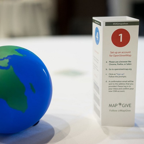
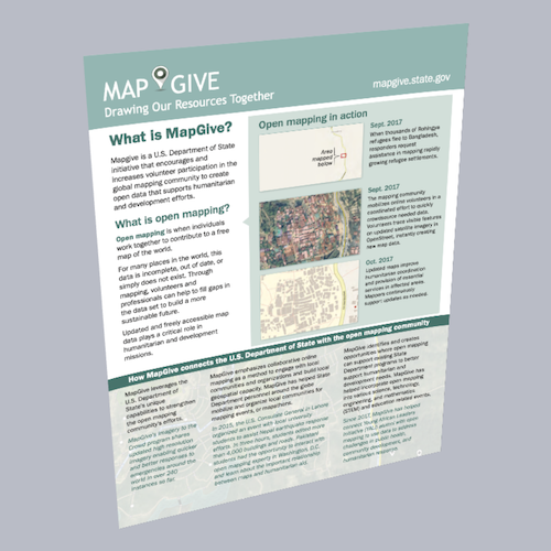
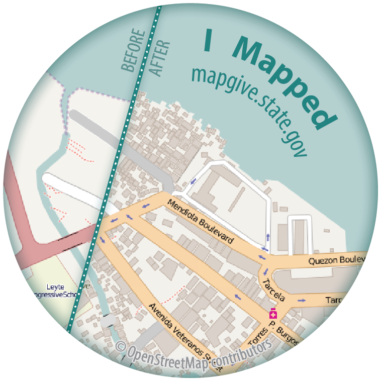
Additional Resources
There are many additional resources out there that allow anyone to understand the core concepts of mapping and start contributing to OpenStreetMap. Browse the resources below that span from planning your own successful field mapping project to covering advanced topics such as validation.
Learn to Validate
author: Missing Maps
tags: JOSM, validation, training
Validation is an important part of the Missing Maps process. Getting a second, third, or fourth pair of eyes on mapped features goes a long way in ensuring the quality of data being added to OpenStreetMap and being used in vulnerable communities around the world. Validating requires confidence in your mapping abilities as well as the willingness to help coach and advise newer mappers.
Open Cities Mapping Project Guide
author: World Bank
tags: field mapping, training
The World Bank Open Cities Mapping Project Guide is a tool for practitioners who wish to bring community mapping initiatives to their cities or regions. The guide documents lessons learned from the regional Open Cities Africa program and its predecessors in South Asia to offer best practices on the design and implementation of a community mapping initiative.
Connect Camps Maps Session Plan
author: Missing Maps
tags: training, field mapping, education
The Connect Camps Maps Session Plan is a good template on how to plan a multi-faceted mapping workshop. Goals can include Introduction to concepts and approaches of Community Mapping in OpenStreetMap and hands-on experience with OSM.
Humanitarian OpenStreetMap Team (HOT) Activation Protocol
author: Humanitarian OpenStreetMap Team
tags: disaster response
The Humanitarian OpenStreetMap Team (HOT) Activation Protocol defines the flow of activities during a HOT Activation and describes how trained volunteers perform the tasks that lead to a successful and efficient response.
MapBox Guides
author: MapBox
tags: JOSM, training
MapBox guides are visually rich guides that allow anyone to understand the core concepts of mapping and start contributing to OpenStreetMap using the advanced JOSM Editor.
TeachOSM
author: OpenStreetMap US
tags: iD, JOSM, training, education
TeachOSM is an online resource to assist educators at all levels to introduce open source mapping using the OpenStreetMap platform in the classroom. Individual instructors are encouraged to make use of the instructional materials provided here to develop assignments for their particular discipline and curricular needs.
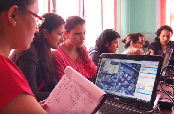
LearnOSM
author: Humanitarian OpenStreetMap Team
tags: iD, JOSM, training
Anyone can edit OpenStreetMap. Here you can learn how. LearnOSM provides easy to understand, step-by-step guides for you to get started with contributing to OpenStreetMap and using OpenStreetMap and using OpenStreetMap data.
Learn to Map! Videos from HOT
author: Humanitarian OpenStreetMap Team
tags: iD, JOSM, training
Visit the Humanitarian OpenStreetMap Team’s Learn to Map Playlist on YouTube. These include excellent Two Minute Tutorials that are designed to get you up to speed in no time!
 MapGive in a Box